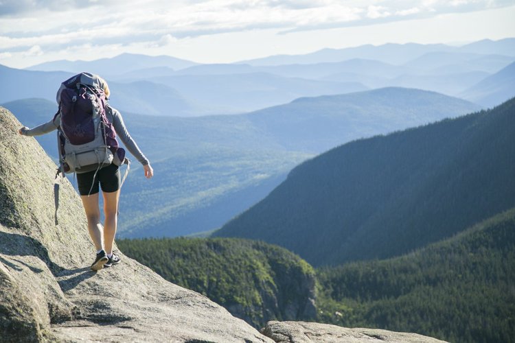
EASY HIKES
Fletcher’s Cascade
This easy out and back hike heads up the Drakes Brook valley to the Fletchers Cascade, a picturesque series of chutes and ledges that begins on the boggy summit of Flat Mountain. This is a 3.2 mile out-and-back hike and takes approximately 1.5-2 hours.
Distance: 3.2 miles
Elevation Gain: 710 feet
Time: 1:30-2 hours
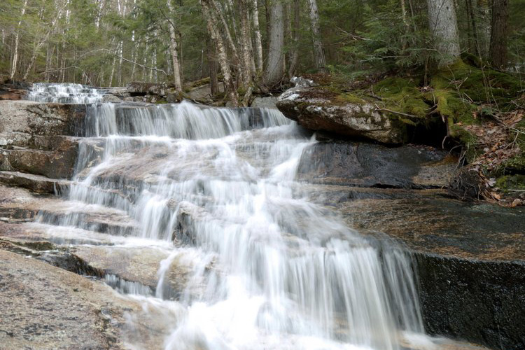
Cascade Path
This is an easy out and back trail to a stunning section of Slide Brook with waterfalls, scenic rapids and plunge pools.
Distance: 3 miles (round trip)
Elevation Gain: 540 feet
Time: 1.5-2.5 hours
Big Pines
This is a short, easy out and back trail that leads to the banks of the Mad River where there are some enormous White Pine trees.
Distance: 1.8 miles (round trip)
Elevation Gain: 30 feet
Time: 40-60 minutes
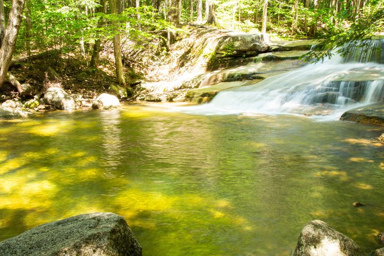
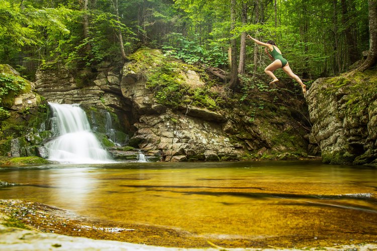
Smarts Brook Swimming hole
This is a very easy out and back hike that leads to a popular swimming hole just over a mile from Route 49.
Distance: 2.2 Miles (round trip)
Elevation Gain: 230 feet
Time: 40-60 minutes
Elephant Rock Trail
This short trail is the fastest, easiest way to hike up to the summit of Snow’s Mountain, offering stunning views of Mount Tecumseh and Mount Osceola. Plus, you can hike down while playing Snow’s Mountain 18-Hole Disc Golf Course!
Distance: 1 mile (1 way)
Time: 40-60 minutes
Elevation: 800 feet
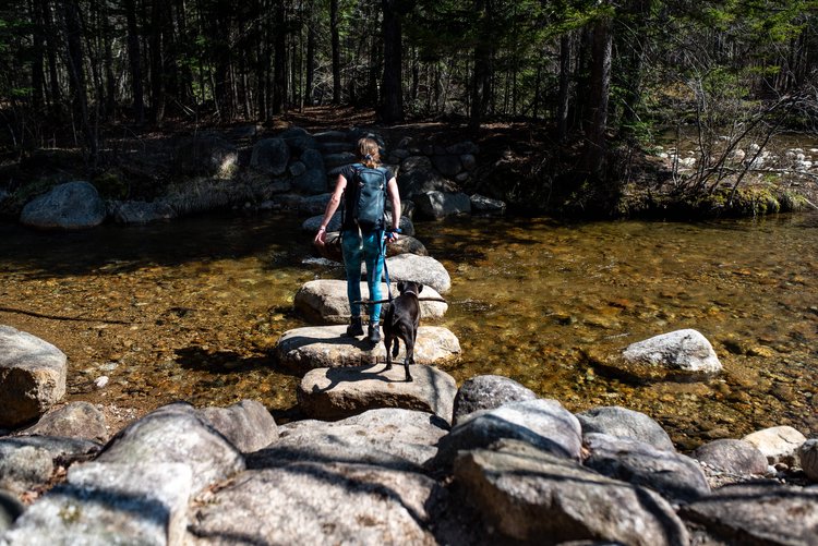
Mad River Path
This short, easy trail closely parallels the Mad River, with two stairways up to a high steep-sided river bank, offering interesting river views. It also features a footbridge made out of large stepping stones.
Distance: 1 mile (one way)
Time: 30 minutes
MODERATE HIKES
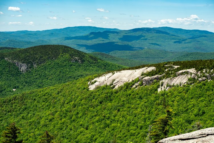
Goodrich Rock Trail
Goodrich Rock Trail winds through a conifer forest to a field of large glacial erratic boulders. The trail ends by climbing a 20-foot ladder to the top of the largest glacial erratics in New England - Goodrich Rock. From Goodrich rock you can take in sweeping views of the Sandwich Mountain Range and the ski trails of Mount Tecumseh!
Distance: 4 miles
Elevation Gain: 740 feet
Time: 1:45 to 2:45 hrs
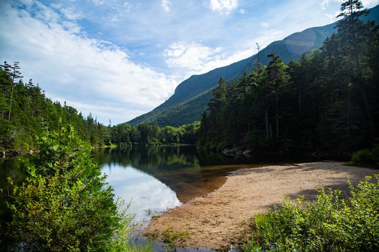
Greeley Ponds
This is a moderate out and back trail that follows the Mad River Notch and leads to Greeley Ponds, a natural alpine pond and the headwaters of the Mad River. Greeley Ponds is known by locals as one Waterville’s best fishing spots!
Distance: 7.4 miles (round trip)
Elevation Gain: 670 feet
Time: 4-5 hours
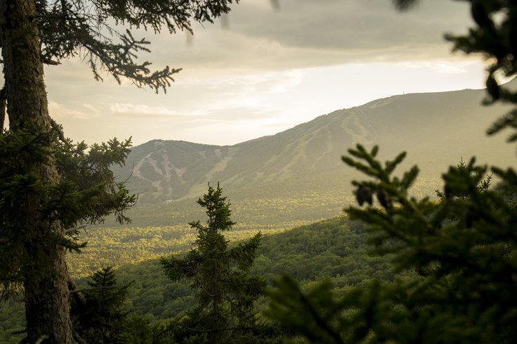
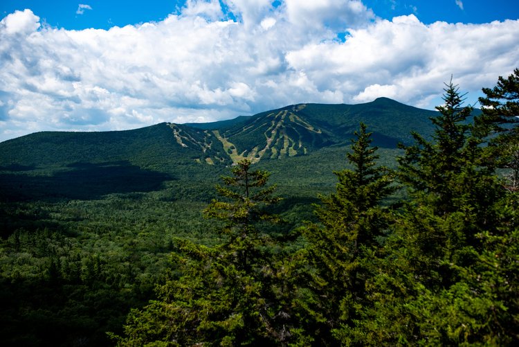
Mount Osceola
This is a heavily used moderate out and back hike with steady ascending. It has outstanding views at the summit of Mt. Osceola [4340 ft.] You can also carry on and traverse the ridge to East Peak [4156 ft.].
Distance: 6.1 miles
Elevation Gain: 2,070 Feet
Time: 3-4 hours
Welch-Dickey Loop
This is a moderate hike that leads to the rocky summits of Welch and Dickey Mountains, offering stunning white mountain views in every direction.
Distance: 4 Miles (Loop)
Elevation Gain: 1,751 Feet
Time: 2-4 Hours
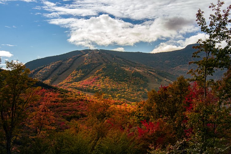
The Scaur
The Scaur is a rocky hill that juts out of the northeast portion of the Valley. It offers beautiful views of the Ski Area, the Valley, and the Mountains that encircle it.
Distance: 4.2 Miles
Elevation Gain: 583 Feet
Time: 1.5-2.5 Hours
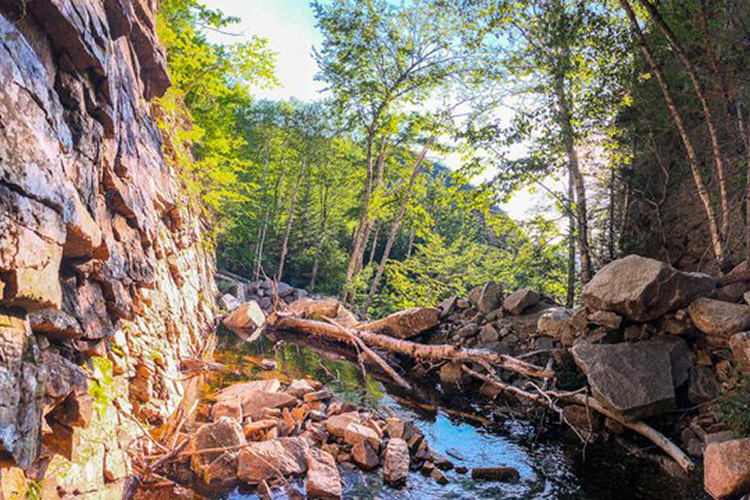
Waterville Flume
Known to locals as one of the most underrated natural features in the White Mountains, the Waterville Flume is a gorge with 60+ foot walls cut into the mountains by Flume Brook.
Distance: 5.4 Miles (round trip)
Elevation Gain: 1,190 feet
Time: 2-4 Hours